Agri SprayDrone Solutions provides precision agriculture solutions to help farmers make better decisions using advanced drone technology. Our services include airial field mapping, crop health monitoring, stand count analysis, NDVI imagery, and precision application planning to improve efficiency and identify potential crop problems.
Our Precision Agriculture Services
Aerial Field Mapping
High resolution drone mapping provides detailed aerial views of fields, helping identify drainage problems, crop damage, early detection of crop stand counts, and areas requiring attention.
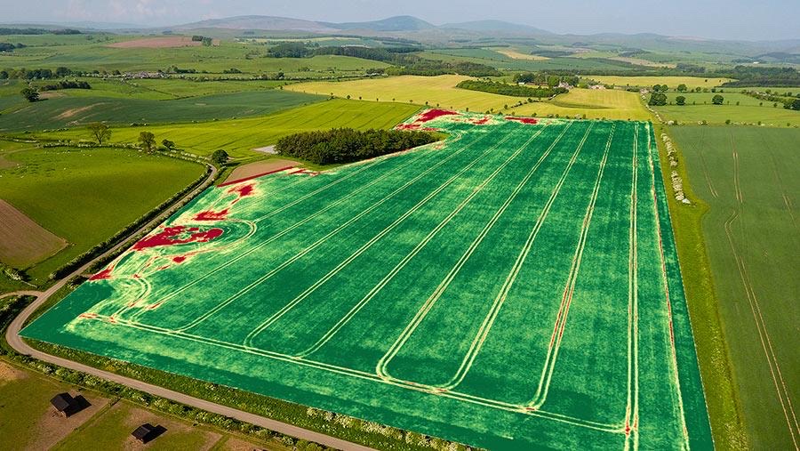
Crop Health Monitoring and NDVI
Drone imagery helps identify crop stress, uneven growth, and potential problem areas so farmers can investigate and make informed decisions.
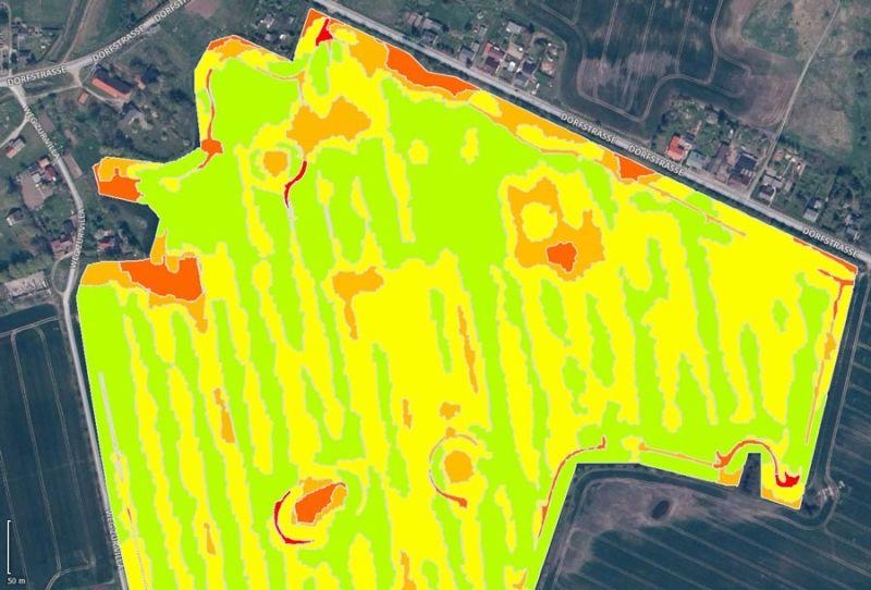
Stand Counts & Field Analysis
Drone-based imagery can assist with plant population estimates, emergence evaluations, and field comparisons.
